Office of Coast Survey
Raster Navigational Charts 2.0
Research Results for Advanced Raster Charts
Discussion
RNC 2.0 Concept
Test Methods
Conclusions
Results
General Instructions for Examining These Results
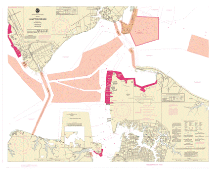
2. Base Display, Standard Display, All Data Display
3. Areas With Special Conditions
4. Alarms and Indications
5. Own Ship’s Safety Contour
6. Depth Areas
7. Backup and Printing
8. Security
9. Marine Information Objects
10. Integration with S-57 Data
11. Automated Identification System
12. Hyperlinking
13.
Supporting Information
ENC, RNC, & RNC 2.0 in ECDIS: A Functionality Comparison
IMO ECDIS Performance Standard (Dec. 2006)
IHO Standard S-61, Raster Navigational Charts
IHO Standard S-57, App B, Electronic Navigational Charts
IHO Standard S-57, IHO Transfer standard for Digi tal Hydrographic Data
IMO S/N Circular 207, “Differences Between RCDS and ECDIS”
 NOAA’s
Raster Navigational Chart 2.0
NOAA’s
Raster Navigational Chart 2.0
A short background discussion of what and why goes here. Also include discussion of the approach, experiments, desired interaction with those visiting this site and examining the research results.
Concept Being Tested
International Hydrographic Organization
National Oceanic and Atmospheric Administration